

Best Seller
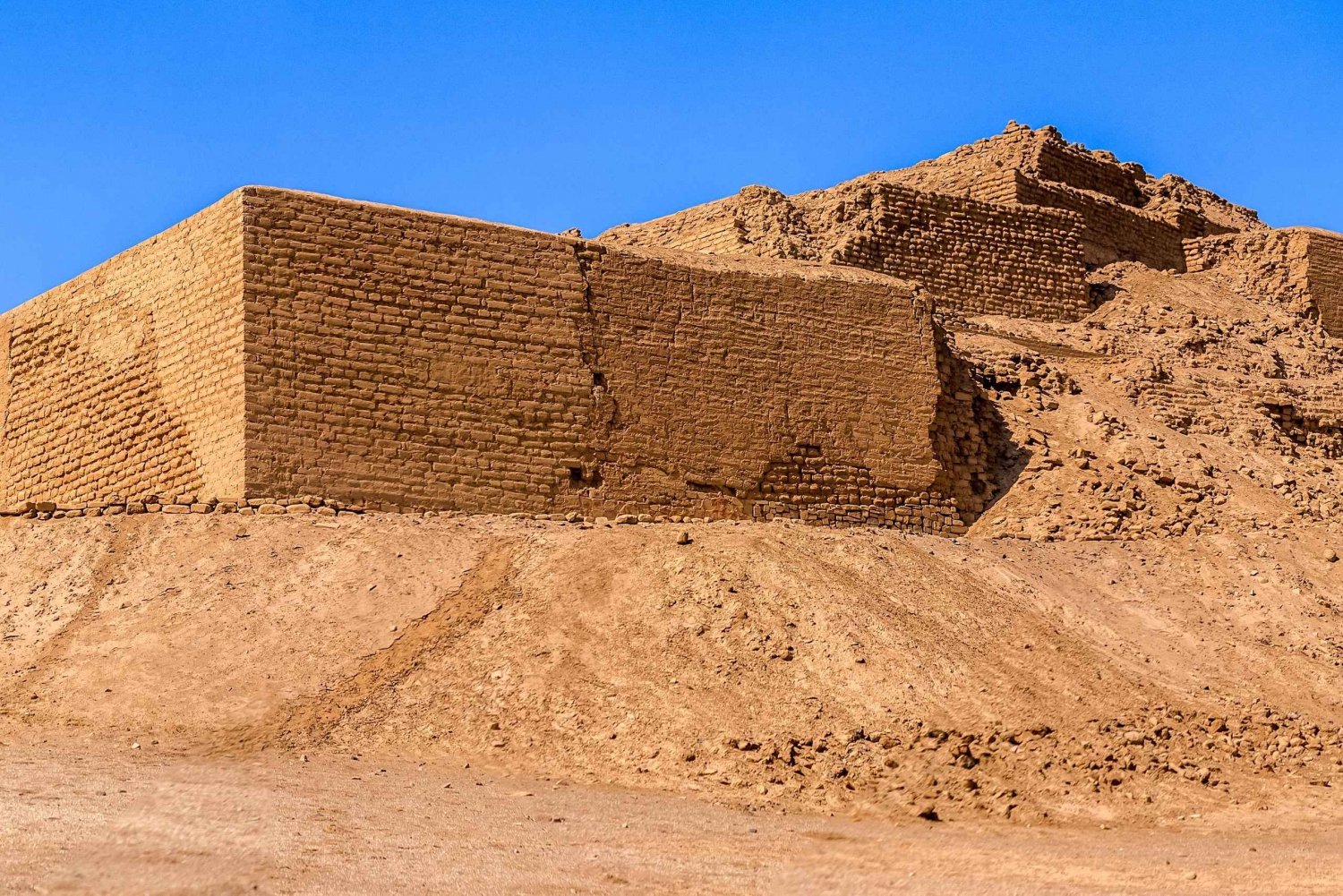
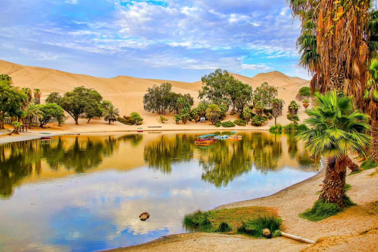
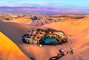
From Lima: Paracas and Huacachina Oasis Tour by Luxury Bus
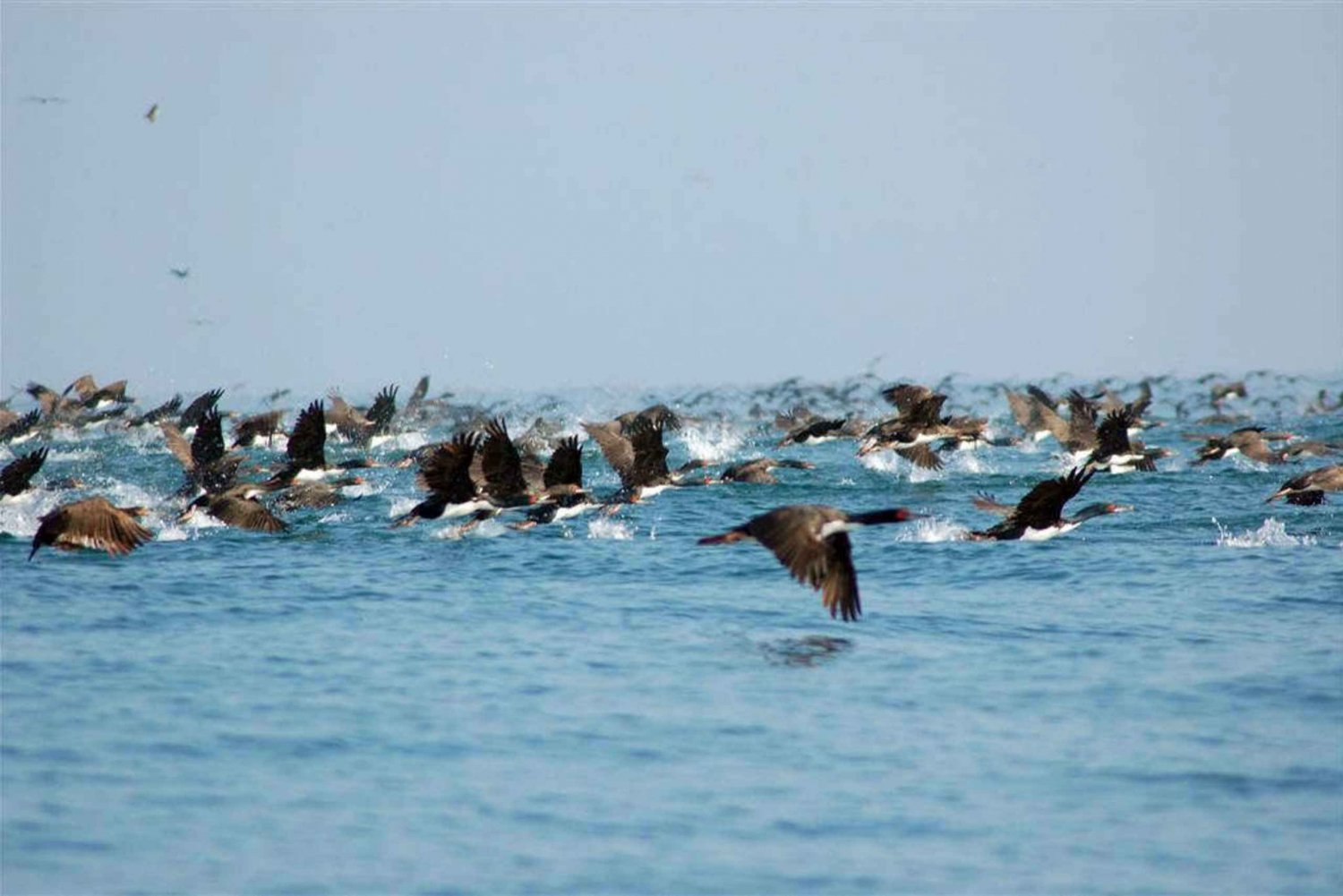
1106 ReviewsTake a day trip from Lima to the beach town of Paracas and the oasis of Huacachina with hotel transfers. Enjoy a boat tour of the Ballestas Islands, and feel the thrill of sandboarding in the desert.